Eleven countries, one river: the geography of the Nile basin
The Nile does not start in Egypt, and it does not start as a single river. Its two main branches, the White Nile and the Blue Nile, begin far upstream, in different countries, and meet at Khartoum, the Sudanese capital, from where the combined river flows north through Sudan and Egypt to the Mediterranean Sea.
Two branches
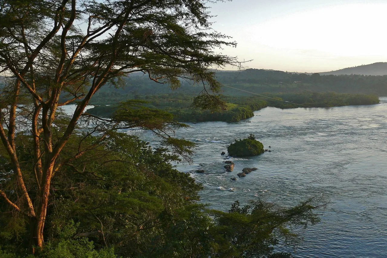
The White Nile begins near Lake Victoria and flows through Uganda and South Sudan. The Blue Nile begins near Lake Tana in Ethiopia and flows into Sudan from the south-east. The photograph shows the Victoria Nile, the stretch of the White Nile that leaves Lake Victoria in Uganda; it was taken north of the town of Jinja.
A shared basin
Eleven countries lie wholly or partly within the basin: Burundi, the Democratic Republic of the Congo, Egypt, Eritrea, Ethiopia, Kenya, Rwanda, South Sudan, Sudan, Tanzania and Uganda. Estimates of its size vary with how the basin is drawn; the Encyclopaedia Britannica puts the area at about 3.35 million square kilometres.
Since 22 February 1999 the basin’s countries have had a shared forum in the Nile Basin Initiative, an intergovernmental partnership that describes itself as a forum for consultation and coordination. The Initiative lists ten member countries: Burundi, the Democratic Republic of the Congo, Egypt, Ethiopia, Kenya, Rwanda, South Sudan, Sudan, Tanzania and Uganda, with Eritrea taking part as an observer. Its secretariat is in Entebbe, Uganda.
At its northern end the river fans out into a delta that begins at Cairo and is about 160 kilometres long from north to south.