The Nile in Cairo: a river that shaped the capital
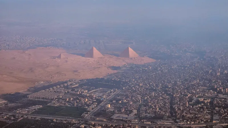
Seen from above, the Nile in Cairo looks less like a boundary than a main street. It arrives from the south as a single broad channel, divides briefly around islands, and leaves the city as the first stretch of the delta that fans out toward the Mediterranean Sea. Much about the capital, from where it was founded to where its people live, follows from that position.
A city beside the river
Cairo as a city dates from 969, when the Fatimid dynasty founded it, and it became the seat of the Fatimid caliphate in 973. Its Arabic name, al-Qahira, means “the Vanquisher” or “the Conqueror”. An earlier settlement, Fustat, had been founded nearby after the Muslim conquest in 641–642.
Islands and sails
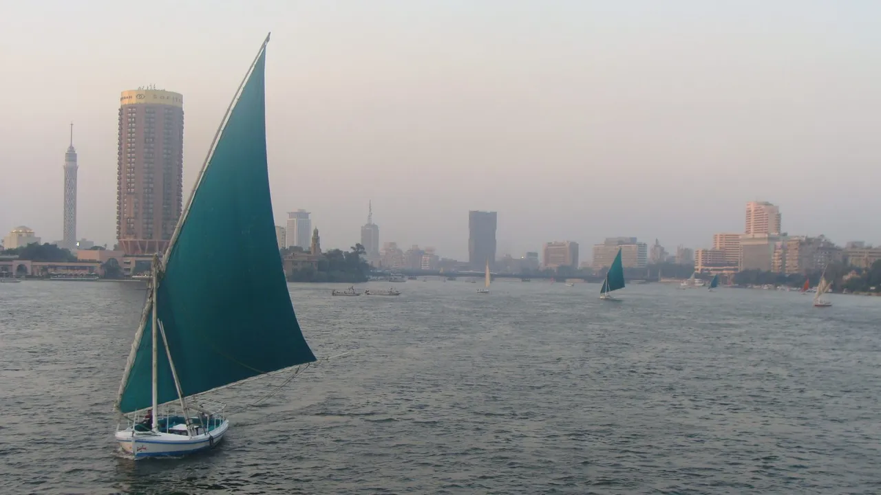
In central Cairo the river passes around Gezira, an island whose northern third is the district of Zamalek. Feluccas, sailing boats rigged with the triangular lateen sail, are still used on the Nile, and one appears in this story’s lead photograph.
A river and its people
About 95 per cent of Egyptians live within roughly 20 kilometres of the Nile and its delta, on only a small share of the country’s land, while vast areas elsewhere are sparsely populated or uninhabited. Greater Cairo alone is home to more than 20 million people, making it one of the largest urban areas in Africa and the Arab world.
How long the river is depends on who is measuring. The Encyclopaedia Britannica gives about 6,650 kilometres, though published measurements differ with where the river is taken to begin and how its course is measured. By any of them the Nile is among the longest rivers on Earth, and Cairo lies near the point where it opens out into its delta.